Project : Urban Physics
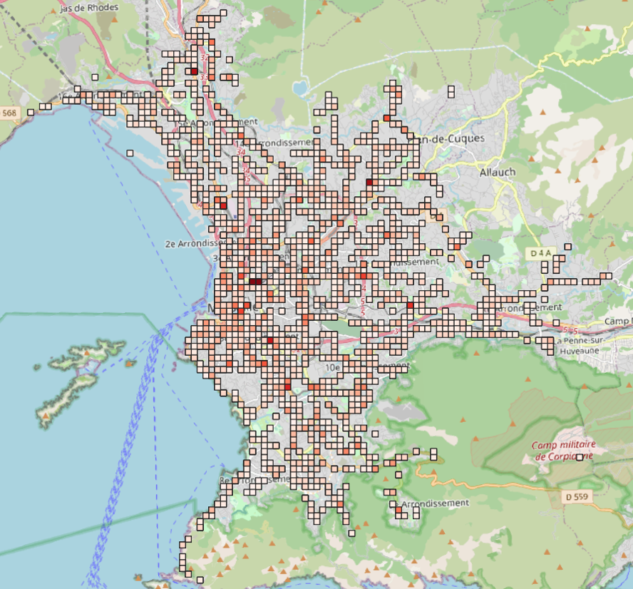
The main objective is to build and validate a “bottom-up” model which, based on local urban proximity indicators, will predict the main daily mobility options of the inhabitants of a neighbourhood. We will then link these local choices to global emissions (of CO2, pollutants, time lost, etc.). Thanks to these tools, we will question the relevance and efficiency in terms of the fight against emissions, of urban organisation schemes, in particular those advocating a (re)found urban proximity, such as the concept of the ¼ hour city in which proximity solutions exist for the main places of visit essential to the exercise of our elementary social functions. To carry out this project, we propose to cross the views of Human and Social Sciences (socio-economics) and Physics (statistics) by relying on surveys and access to digital data.
Project conducted in collaboration with F.Rychen, AMSE, AMU